拉里昂河
印度尼西亚河流
拉里昂河(印尼語:Sungai Lariang)是印度尼西亞蘇拉威西島中部的一條河流[1]。
| 拉里昂河 | |
|---|---|
| 流域 | |
| 源頭 | |
| - 位置 | 蘇拉威西島 |
| 河口 | |
- 位置 | 拉里昂(Lariang) |
- 座標 | 1°25′00″S 119°17′31″E / 1.41667°S 119.29194°E座標:1°25′00″S 119°17′31″E / 1.41667°S 119.29194°E |
- 海拔 | 0米(0英尺) |
| 流經國家 | 印度尼西亞 |
河道 編輯
拉里昂河的支流佩巴圖阿河(Pebatua)發源於中蘇拉威西省的希吉縣,在1°39′50″S 120°2′47″E / 1.66389°S 120.04639°E處匯合了南面來的科洛河(Koro,發源於南蘇拉威西省北魯烏縣)後形成拉里昂河[2]。之後向西流向望加錫海峽,拉里昂河的部分河段[3]成為中蘇拉威西省與西蘇拉威西省的分界,入海口位於西蘇拉威西省北馬穆朱縣的小鎮拉里昂(Lariang)[4][5]。入海口的坐標為1°25′00″S 119°17′31″E / 1.41667°S 119.29194°E。
參見 編輯
資料來源 編輯
- ^ Rand McNally, The New International Atlas, 1993.
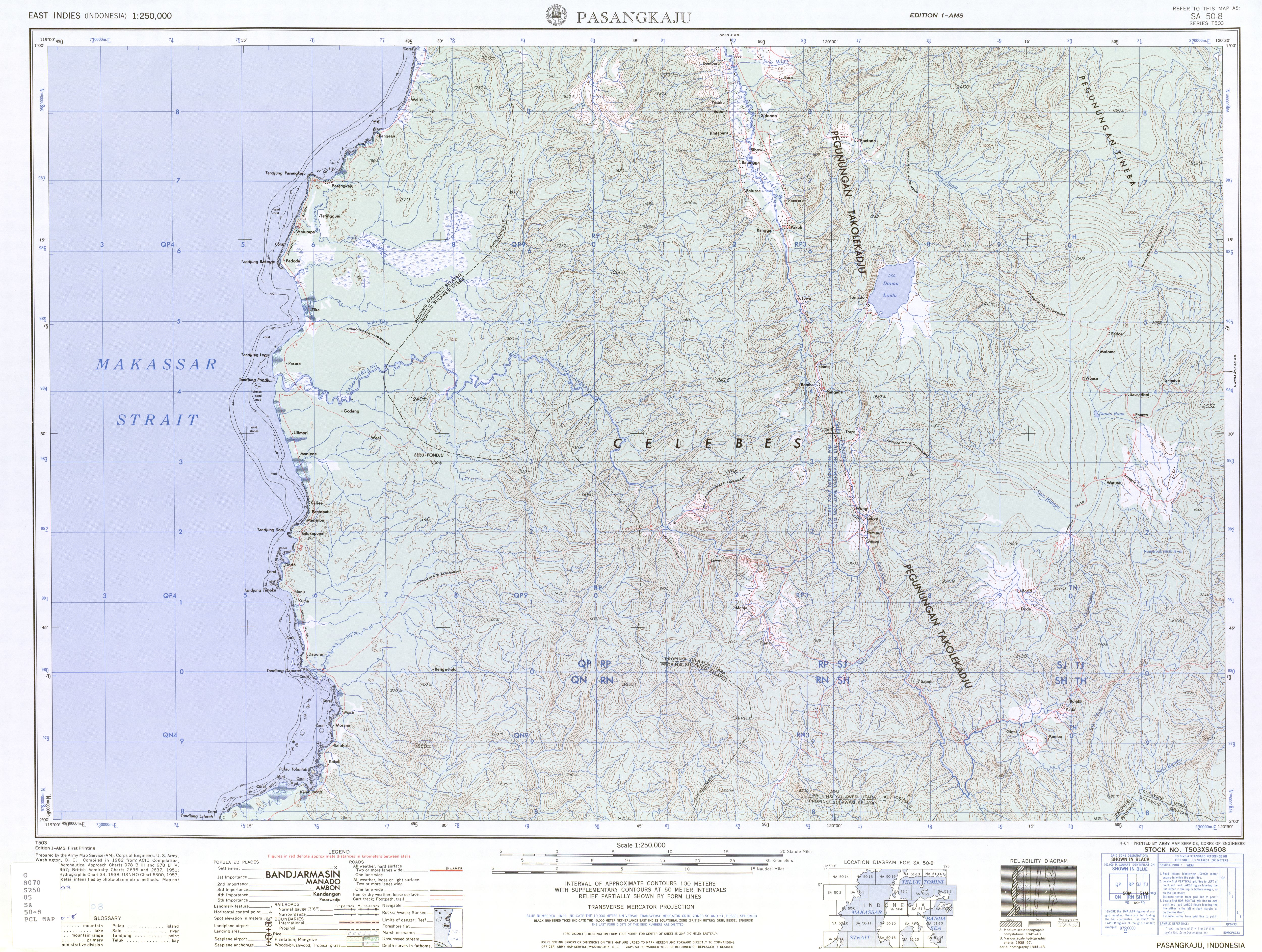
- ^ Pasangkaju, SA 50-8 (topographic map 1:250,000), Series T503, United States Army Map Service, April 1964 [2017-07-22], (原始內容存檔於2016-03-04)
- ^ Some maps such as Lariang, Sulawesi Barat, Sulawesi, Indonesia. Collins Maps. (原始內容存檔於2013-06-28). and City (town): Lariang. TipTopGlobe. [2017-07-22]. (原始內容存檔於2018-12-05). no longer use the name Lariang, but use Pebatua for the entire length.
- ^ Plate 19 Indonesia Central: Philippines. Times Atlas of the World seventh. John Bartholomew and Sons, Ltd. 1985. ISBN 978-0-7230-0265-9.
- ^ The 1964 U.S. Army topographic map Pasangkaju does not show the town of Lariang.
| 這是一篇與印度尼西亞地理相關的小作品。你可以透過編輯或修訂擴充其內容。 |