File:Reliefkarte Schwyz.png
預覽大小:728 × 600 像素。 其他解析度:291 × 240 像素 | 583 × 480 像素 | 932 × 768 像素 | 1,243 × 1,024 像素 | 2,157 × 1,777 像素。
原始檔案 (2,157 × 1,777 像素,檔案大小:3.58 MB,MIME 類型:image/png)
| 描述 |
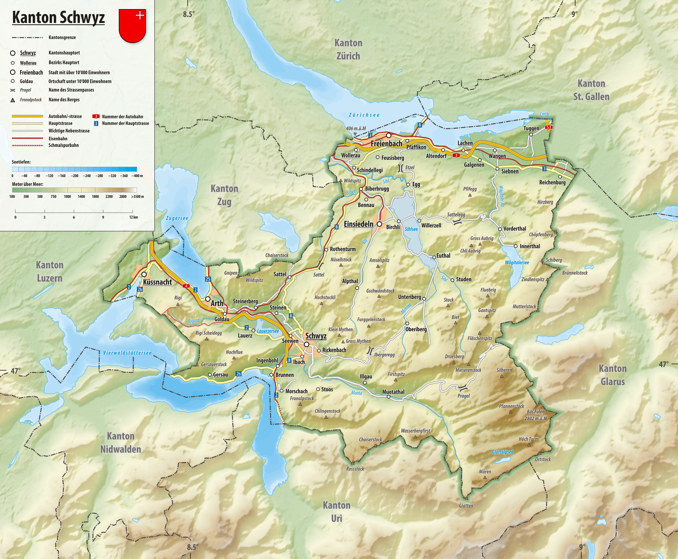
Deutsch: Reliefkarte des Kantons Schwyz
Topographischer Hintergrund: NASA Shuttle Radar Topography Mission (public domain). SRTM3 v.2. |
||||||||
| 日期 | |||||||||
| 來源 | 自己的作品 | ||||||||
| 作者 | Tschubby | ||||||||
| 授權許可 (重用此檔案) |
我,本作品的著作權持有者,決定用以下授權條款發佈本作品:
您可以選擇您需要的授權條款。 |

檔案歷史
點選日期/時間以檢視該時間的檔案版本。
| 日期/時間 | 縮圖 | 尺寸 | 使用者 | 備註 | |
|---|---|---|---|---|---|
| 目前 | 2019年1月30日 (三) 14:32 | | 2,157 × 1,777(3.58 MB) | Tschubby | {{Information |description= |date= |source= |author= |permission= |other versions= }} |
| 2016年5月8日 (日) 05:43 |  | 1,798 × 1,482(1.98 MB) | Tschubby | {{Information |Description= |Source= |Date= |Author= |Permission= |other_versions= }} | |
| 2013年8月16日 (五) 12:45 |  | 1,802 × 1,485(2.84 MB) | Tschubby | {{Information |Description= |Source= |Date= |Author= |Permission= |other_versions= }} | |
| 2013年7月23日 (二) 15:54 |  | 1,801 × 1,483(2.98 MB) | Tschubby | {{Information |Description= |Source= |Date= |Author= |Permission= |other_versions= }} | |
| 2013年7月23日 (二) 15:52 |  | 1,801 × 1,483(2.99 MB) | Tschubby | {{Information |Description= |Source= |Date= |Author= |Permission= |other_versions= }} | |
| 2013年7月23日 (二) 15:47 |  | 1,801 × 1,483(2.99 MB) | Tschubby | {{Information |Description= |Source= |Date= |Author= |Permission= |other_versions= }} | |
| 2013年7月23日 (二) 15:23 |  | 1,801 × 1,483(2.99 MB) | Tschubby | {{Information |Description= {{de| Reliefkarte des Kantons Schwyz}} Topographischer Hintergrund: [http://www2.jpl.nasa.gov/srtm NASA Shuttle Radar Topography Mission] (public domain). SRTM3 v.2. |Source={{own}} |Date= 2013-07-23 |Author= [[:de:User:Tsch... |
檔案用途
下列頁面有用到此檔案:
全域檔案使用狀況
以下其他 wiki 使用了這個檔案:
- als.wikipedia.org 的使用狀況
- de.wikipedia.org 的使用狀況
- sv.wikipedia.org 的使用狀況