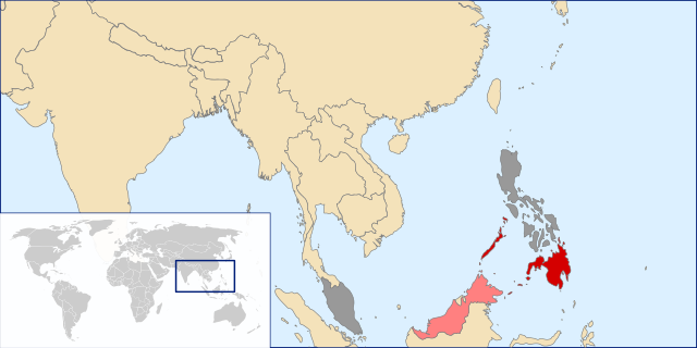
File:Bangsamoro Republik locator map.svg

此 SVG 檔案的 PNG 預覽的大小:800 × 400 像素。 其他解析度:320 × 160 像素 | 640 × 320 像素 | 1,024 × 512 像素 | 1,280 × 640 像素 | 2,560 × 1,280 像素 | 1,000 × 500 像素。
原始檔案 (SVG 檔案,表面大小:1,000 × 500 像素,檔案大小:1.03 MB)
摘要
| 描述 | |
| 日期 | |
| 來源 | 自己的作品 |
| 作者 | Zuanzuanfuwa |
授權條款
我,本作品的著作權持有者,決定用以下授權條款發佈本作品:
此檔案採用創用CC 姓名標示-相同方式分享 3.0 未在地化版本授權條款。
- 您可以自由:
- 分享 – 複製、發佈和傳播本作品
- 重新修改 – 創作演繹作品
- 惟需遵照下列條件:
- 姓名標示 – 您必須指名出正確的製作者,和提供授權條款的連結,以及表示是否有對內容上做出變更。您可以用任何合理的方式來行動,但不得以任何方式表明授權條款是對您許可或是由您所使用。
- 相同方式分享 – 如果您利用本素材進行再混合、轉換或創作,您必須基於如同原先的相同或兼容的條款,來分布您的貢獻成品。
檔案歷史
點選日期/時間以檢視該時間的檔案版本。
| 日期/時間 | 縮圖 | 尺寸 | 使用者 | 備註 | |
|---|---|---|---|---|---|
| 目前 | 2013年9月16日 (一) 21:10 | | 1,000 × 500(1.03 MB) | Muffin Wizard | I only fix the Banggi Island colour, why my change was reverted? |
| 2013年9月16日 (一) 18:45 |  | 1,000 × 500(1.03 MB) | Danlaycock | Reverted to version as of 10:45, 10 September 2013 - misrepresentation of sources on en.wiki | |
| 2013年9月16日 (一) 13:33 |  | 1,000 × 500(1.03 MB) | Hariboneagle927 | fix | |
| 2013年9月16日 (一) 12:59 |  | 1,000 × 500(1.03 MB) | Soffredo | Reverted to version as of 10:45, 10 September 2013 Republik claims Sabah islands | |
| 2013年9月14日 (六) 17:26 |  | 1,000 × 500(1.03 MB) | Muffin Wizard | fix Banggi, a part of Malaysian island, not the Republik Island | |
| 2013年9月10日 (二) 10:45 |  | 1,000 × 500(1.03 MB) | Soffredo | So far, we only have one source that says the Republik is claiming Malaysian land | |
| 2013年8月19日 (一) 06:01 |  | 1,000 × 500(1.03 MB) | Hariboneagle927 | User created page with UploadWizard |
檔案用途
下列頁面有用到此檔案:
全域檔案使用狀況
以下其他 wiki 使用了這個檔案:
- en.wikipedia.org 的使用狀況
- es.wikipedia.org 的使用狀況
- ja.wikipedia.org 的使用狀況
- ms.wikipedia.org 的使用狀況
- nl.wikipedia.org 的使用狀況
- pt.wikipedia.org 的使用狀況
- simple.wikipedia.org 的使用狀況
- www.wikidata.org 的使用狀況