File:Rivieren 4.46933E 51.88083N.jpg

本预览的尺寸:800 × 599像素。 其他分辨率:320 × 240像素 | 640 × 479像素 | 1,024 × 766像素 | 1,280 × 958像素。
原始文件 (1,280 × 958像素,文件大小:191 KB,MIME类型:image/jpeg)
摘要
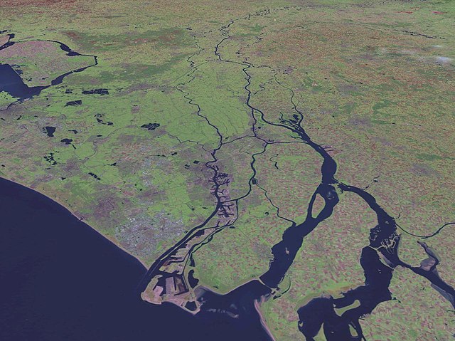
| 描述 | Satellite pictures of the Netherlands |
| 来源 | NASA World Wind screenshot. |
| 作者 | NASA World Wind |
| 其他版本 |
|
许可协议
| 本圖像屬於公有領域,因其為NASA的World Wind衛星地圖瀏覽器的一張截圖,且使用了公有領域圖層,如Blue Marble、MODIS、Landsat、SRTM、USGS、GLOBE等。
|
 |
文件历史
点击某个日期/时间查看对应时刻的文件。
| 日期/时间 | 缩略图 | 大小 | 用户 | 备注 | |
|---|---|---|---|---|---|
| 当前 | 2018年3月18日 (日) 15:39 | | 1,280 × 958(191 KB) | Mar(c) | Reverted to version as of 18:58, 15 May 2005 (UTC): aerial view with perspective, not suited for rotation |
| 2017年8月2日 (三) 18:01 |  | 944 × 1,280(190 KB) | SteinsplitterBot | Bot: Image rotated by 90° | |
| 2005年5月15日 (日) 18:58 |  | 1,280 × 958(191 KB) | Rex | NASA World Wind screenshot. {{PD-USGov-NASA}} Category:Maps of the Netherlands |
文件用途
以下页面使用本文件:
全域文件用途
以下其他wiki使用此文件:
- bg.wikipedia.org上的用途
- bs.wikipedia.org上的用途
- ca.wikipedia.org上的用途
- cs.wikipedia.org上的用途
- da.wikipedia.org上的用途
- de.wikipedia.org上的用途
- dsb.wikipedia.org上的用途
- en.wikipedia.org上的用途
- eo.wikipedia.org上的用途
- fr.wikipedia.org上的用途
- fy.wikipedia.org上的用途
- he.wikipedia.org上的用途
- hif.wikipedia.org上的用途
- hsb.wikipedia.org上的用途
- hu.wikipedia.org上的用途
- it.wikipedia.org上的用途
- ja.wikipedia.org上的用途
- ko.wikipedia.org上的用途
- ku.wikipedia.org上的用途
- mt.wikipedia.org上的用途
- nds-nl.wikipedia.org上的用途
- nl.wikipedia.org上的用途
- nn.wikipedia.org上的用途
- nrm.wikipedia.org上的用途
- pl.wikipedia.org上的用途
- pms.wikipedia.org上的用途
- pt.wikibooks.org上的用途
- roa-tara.wikipedia.org上的用途
- sh.wikipedia.org上的用途
- simple.wikipedia.org上的用途
- sr.wikipedia.org上的用途
- sv.wikipedia.org上的用途
- sw.wikipedia.org上的用途
- uk.wikipedia.org上的用途
- www.wikidata.org上的用途