File:National Atlas of the USA 1970 - Pacific Outlying Areas.jpg

本预览的尺寸:800 × 544像素。 其他分辨率:320 × 218像素 | 640 × 435像素 | 1,024 × 696像素 | 1,280 × 871像素 | 2,560 × 1,741像素 | 4,170 × 2,836像素。
原始文件 (4,170 × 2,836像素,文件大小:2.04 MB,MIME类型:image/jpeg)
摘要
| 描述 |
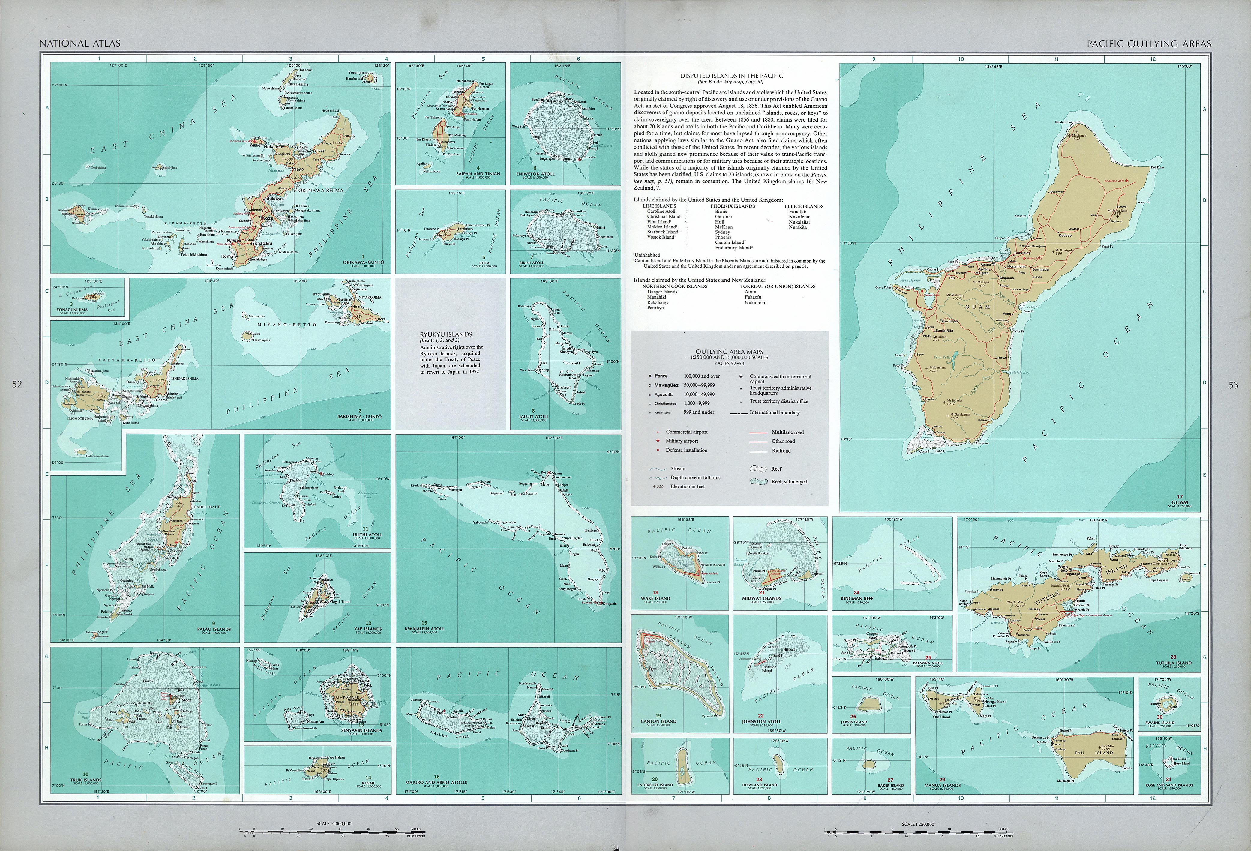
English: National Atlas of the United States, page "Pacific Outlying Areas", with map insets (all uploaded separately) |
| 日期 | |
| 来源 | https://www.lib.utexas.edu/maps/national_atlas_1970/ca000040.jpg |
| 作者 | United States Department of the Interior |
| 其他版本 |
|


许可协议
| 本作品来自Library of Congress。根据图书馆说明,使用该作品没有已知版权限制。 |  |
文件历史
点击某个日期/时间查看对应时刻的文件。
| 日期/时间 | 缩略图 | 大小 | 用户 | 备注 | |
|---|---|---|---|---|---|
| 当前 | 2016年10月17日 (一) 13:16 | | 4,170 × 2,836(2.04 MB) | Mauerquadrant | Reverted to version as of 19:25, 16 October 2016 (UTC) |
| 2016年10月17日 (一) 13:15 |  | 492 × 301(84 KB) | Mauerquadrant | Cropped 6 % horizontally and 11 % vertically using CropTool with precise mode. | |
| 2016年10月17日 (一) 13:13 |  | 521 × 339(93 KB) | Mauerquadrant | Cropped 88 % horizontally and 88 % vertically using CropTool with precise mode. | |
| 2016年10月16日 (日) 19:25 |  | 4,170 × 2,836(2.04 MB) | Ratzer | User created page with UploadWizard |
文件用途
没有页面链接到本图像。
全域文件用途
以下其他wiki使用此文件:
- de.wikipedia.org上的用途