File:Hoover-dam-contour-map.jpg
本预览的尺寸:800 × 305像素。 其他分辨率:320 × 122像素 | 640 × 244像素 | 1,520 × 580像素。
原始文件 (1,520 × 580像素,文件大小:355 KB,MIME类型:image/jpeg)
摘要
| 描述 |
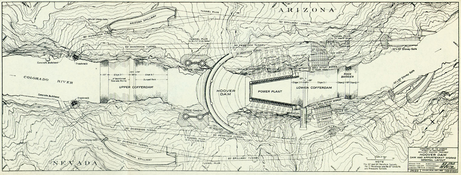
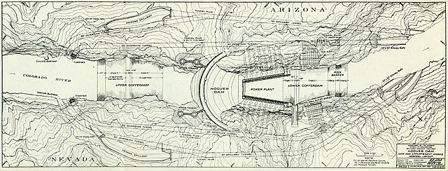
English: Hoover Dam plan.
1930 |
| 日期 | |
| 来源 | U.S. Department of Interior, Bureau of Reclamation, Boulder Canyon Project, map. |
| 作者 | Mapmakers in employ of U.S. Department of Interior; signatures not readable. |
许可协议
此作品在美国属于公有领域,因为其是由美国政府的官员或雇员,基于其个人公务目的制作的作品,参考美国法典第17篇第1章第105条。
注意︰本模板仅适用于美国联邦政府的原创作品,不适用于任何美国州、属地、联邦个体、县、市或任何次级政府的作品。本模板也不适用于1978年以后由美国邮政署出版的邮票图案(参看美国版权局实践纲领第313.6(C)(1)条)。也不适用于部分美国硬币;参看美国铸币局使用条款。 |
 | |
| 本文件已被确认为免除已知的著作权法限制(包括所有相关权利)。 | ||
Wikipedia upload log
An earlier Wikipedia description page is/was here. All following user names refer to en.wikipedia.
- 2006-11-18 02:35 Jsecure 1520×580× (363765 bytes) Freely available online item of historic interest
文件历史
点击某个日期/时间查看对应时刻的文件。
| 日期/时间 | 缩略图 | 大小 | 用户 | 备注 | |
|---|---|---|---|---|---|
| 当前 | 2010年6月25日 (五) 12:10 | 1,520 × 580(355 KB) | File Upload Bot (Magnus Manske) | {{BotMoveToCommons|en.wikipedia|year={{subst:CURRENTYEAR}}|month={{subst:CURRENTMONTHNAME}}|day={{subst:CURRENTDAY}}}} {{Information |Description={{en|Freely available online item of historic interest Dam, Hoover}} |S |
文件用途
以下页面使用本文件:
全域文件用途
以下其他wiki使用此文件:
- ar.wikipedia.org上的用途
- en.wikipedia.org上的用途
- en.wikibooks.org上的用途
- eo.wikipedia.org上的用途
- fr.wikipedia.org上的用途
- he.wikipedia.org上的用途
- hi.wikipedia.org上的用途
- hy.wikipedia.org上的用途
- it.wikipedia.org上的用途
- kn.wikipedia.org上的用途
- la.wikipedia.org上的用途
- ro.wikipedia.org上的用途
- te.wikipedia.org上的用途