File:Denver-Aurora Metropolitan Area.png
此为最大尺寸。
Denver-Aurora_Metropolitan_Area.png (569 × 414像素,文件大小:25 KB,MIME类型:image/png)
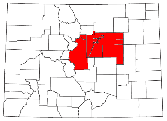
| 描述 | Locator map of the Denver-Aurora Metropolitan Statistical Area in the central part of the U.S. state of Colorado. | ||
| 日期 | |||
| 来源 | Modified from this United States Census Bureau file. | ||
| 作者 | User:Nyttend | ||
| 授权 (二次使用本文件) |
US Government work is public domain, and my work is
|
文件历史
点击某个日期/时间查看对应时刻的文件。
| 日期/时间 | 缩略图 | 大小 | 用户 | 备注 | |
|---|---|---|---|---|---|
| 当前 | 2008年7月26日 (六) 21:34 | | 569 × 414(25 KB) | Nyttend | {{Information |Description=Locator map of the {{w|Denver-Aurora Metropolitan Area|Denver-Aurora Metropolitan Statistical Area}} in the central part of the {{w|U.S. state}} of {{w|Colorado}}. |Source=Modified from [http://www2.census.gov/geo/maps/general_r |
文件用途
以下页面使用本文件:
全域文件用途
以下其他wiki使用此文件:
- fi.wikipedia.org上的用途
- it.wikipedia.org上的用途