File:C85165s1 Ant.Map Liv Glacier.jpg

本预览的尺寸:779 × 600像素。 其他分辨率:312 × 240像素 | 624 × 480像素 | 998 × 768像素 | 1,280 × 985像素 | 2,560 × 1,971像素 | 4,210 × 3,241像素。
原始文件 (4,210 × 3,241像素,文件大小:1.84 MB,MIME类型:image/jpeg)
| 描述 |
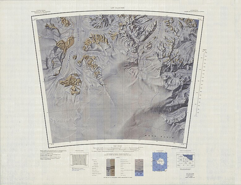
English: Map of Antarctica by the United States Antarctic Resource Center of the US Geological Society. |
| 来源 | USGS |
| 作者 | USGS |
| 相机位置 | | 在以下服务上查看本图像和附近其他图像: OpenStreetMap |
|---|
|
|
文件历史
点击某个日期/时间查看对应时刻的文件。
| 日期/时间 | 缩略图 | 大小 | 用户 | 备注 | |
|---|---|---|---|---|---|
| 当前 | 2005年4月3日 (日) 23:00 | | 4,210 × 3,241(1.84 MB) | Achim Raschka | Map of Antarctica by the United States Antarctic Ressource Center of the US Geological Society. {{PD-US}} Copyrights and Trademarks USGS-authored or produced data and information are in the public domain. While the content of most USGS web pages is in th |
文件用途
以下页面使用本文件:
全域文件用途
以下其他wiki使用此文件:
- bg.wikipedia.org上的用途
- ceb.wikipedia.org上的用途
- de.wikipedia.org上的用途
- en.wikipedia.org上的用途
- fr.wikipedia.org上的用途
- he.wikipedia.org上的用途
- it.wikipedia.org上的用途
- nn.wikipedia.org上的用途
- www.wikidata.org上的用途