File:Bahnkarte Deutschland 1849.jpg
本预览的尺寸:740 × 600像素。 其他分辨率:296 × 240像素 | 592 × 480像素 | 948 × 768像素 | 1,263 × 1,024像素 | 2,527 × 2,048像素 | 4,646 × 3,766像素。
原始文件 (4,646 × 3,766像素,文件大小:17.31 MB,MIME类型:image/jpeg)
| 描述 |
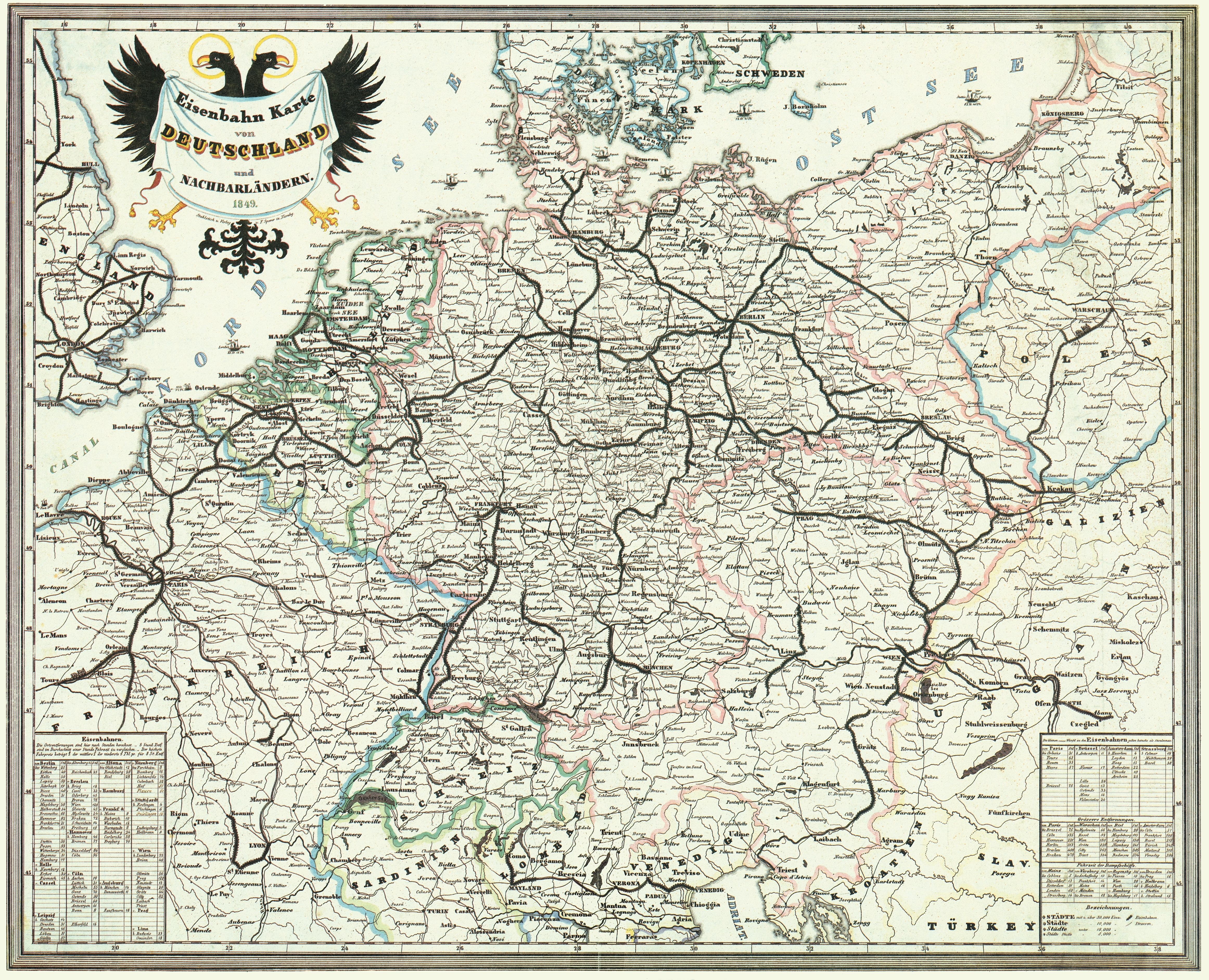
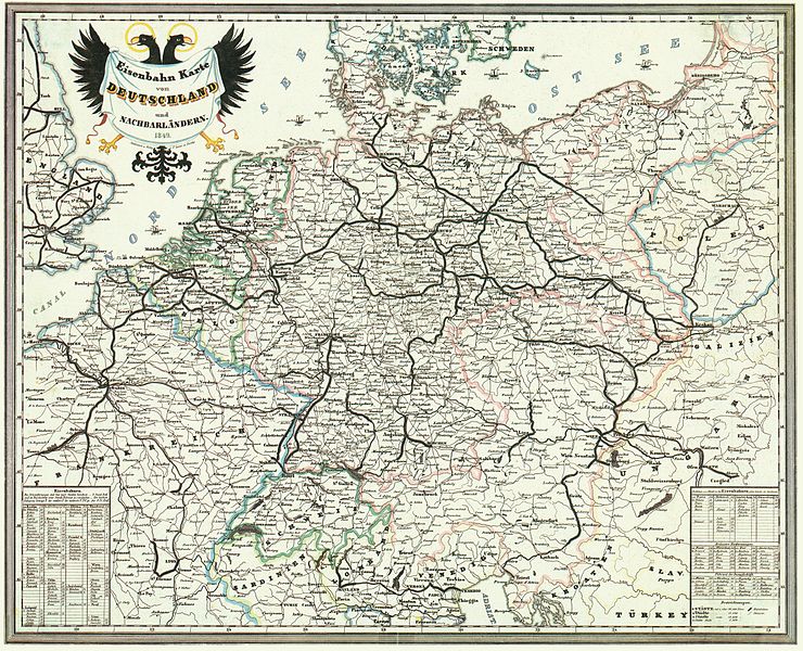
Deutsch: Bahnkarte von Deutschland und Nachbarländern 1849. Dünne Linien sind Straßen. |
| 日期 | |
| 来源 | Karten- und Luftbildstelle der DB Mainz |
| 作者 | F. Sporer, Nürnberg |
| 其他版本 |
此文件衍生的作品: |
|
本作品在其来源国以及其他著作权期限是作者逝世后100年或以下的国家和地区属于公有领域。 | |
| 本文件已被确认为免除已知的著作权法限制(包括所有相关权利)。 | |
文件历史
点击某个日期/时间查看对应时刻的文件。
| 日期/时间 | 缩略图 | 大小 | 用户 | 备注 | |
|---|---|---|---|---|---|
| 当前 | 2008年11月17日 (一) 14:42 | | 4,646 × 3,766(17.31 MB) | Jom | {{Information |Description=Bahnkarte_Deutschland_1849 |Source=Karten- und Luftbildstelle der DB Mainz |Date=1849 |Author=unknown |Permission= |other_versions= }} {{PD-old-100}} Category:Maps of the history of Germany [[Category:Public transport maps o |
文件用途
以下页面使用本文件:
全域文件用途
以下其他wiki使用此文件:
- cs.wikipedia.org上的用途
- de.wikipedia.org上的用途
- 1849
- Geschichte der Eisenbahn
- Geschichte der Eisenbahn in Deutschland
- Portal:Bahn/Mitmachen/Literatur
- Stargard-Posener Eisenbahn
- Wilhelmsbahn
- K.k. Östliche Staatsbahn
- Krakau-Oberschlesische Eisenbahn
- Stammstrecke der Köln-Mindener Eisenbahn-Gesellschaft
- Benutzer:Jom/Maps
- Warschau-Wiener Eisenbahn
- Oberschlesische Eisenbahn
- Diskussion:Bahnstrecke Kędzierzyn-Koźle–Opole
- en.wikipedia.org上的用途
- fr.wikipedia.org上的用途
- hu.wikipedia.org上的用途
- it.wikipedia.org上的用途
- ja.wikipedia.org上的用途
- nl.wikipedia.org上的用途
- pl.wikipedia.org上的用途
- sk.wikipedia.org上的用途